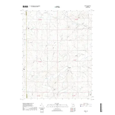
2017 Map of Dissen
USGS Topo · Published 2017About this map
Kohl City and Dissen anchor this rural landscape along the Gasconade and Franklin county line in eastern Missouri. The area is characterized by a dense network of family-named cemeteries and landmarks, reflecting a deep-rooted agricultural community. Settled points like Stony Hill and Detmold are connected by winding routes such as Detmold Rd and Stone Church Rd. The terrain is defined by the drainage of Big Berger Creek in the north and the meandering Boeuf Creek to the south. Notable local features include the Ebenezer Stone Church Cem and prominent elevations like Kaiser Hill and the Etlah Knobs. The presence of Air Port Hudson Airport in the southeast corner provides a modern contrast to the established farms and churchyards like Kohlbush Cem and Helling Cem that dot the countryside.
Find a feature on this map
69 named features on this map. Tap any name to fly to it.
Don’t see what you’re looking for? This feature index may not catch every label — zoom into the map to look around manually.
Map Details
Editions of this 2017 Dissen Map
This is the sole edition of this map. No revisions or reprints were ever made.
Other maps of this area

1890 · Hermann
USGS Topo · 1:125,000

1903 · Sullivan
USGS Topo · 1:125,000

1935 · Gerald
USGS Topo · 1:48,000

1936 · Hermann
USGS Topo · 1:48,000

1941 · Gerald
USGS Topo · 1:62,500

1942 · Hermann
USGS Topo · 1:62,500

1944 · Gerald
USGS Topo · 1:62,500

1945 · Hermann
USGS Topo · 1:62,500

1946 · Union
USGS Topo · 1:62,500

1948 · Union
USGS Topo · 1:62,500