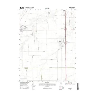
2015 Map of Divernon
USGS Topo · Published 2015About this map
The agricultural landscape of central Illinois is defined by the branching waterways of Sugar Cr and Brush Cr, which meander through the prairie between the cities of Auburn and Divernon. This 2015 survey captures the region's intersection of historical routes and modern infrastructure, notably where Old Route 66 runs parallel to the modern interstate corridor. The map details the residential grids of local settlements like Thayer and Cimic, while several rural burial grounds, including the Cumberland Sugar Creek Cem and Wimmer Cem, provide anchor points for genealogical research. The southern boundary of the sheet marks the transition from Sangamon County into Macoupin County, illustrating the surveyor's precision in mapping the expansive farm plots and local roads like Union School Rd and Horse Farm Rd that tie these communities together.
Find a feature on this map
104 named features on this map. Tap any name to fly to it.
Don’t see what you’re looking for? This feature index may not catch every label — zoom into the map to look around manually.
Map Details
Editions of this 2015 Divernon Map
This is the sole edition of this map. No revisions or reprints were ever made.
Other maps of this area

1922 · Divernon
USGS Topo · 1:62,500

1923 · Carlinville
USGS Topo · 1:48,000

1923 · Raymond
USGS Topo · 1:62,500

1924 · Divernon
USGS Topo · 1:62,500

1924 · Waverly
USGS Topo · 1:62,500

1925 · Carlinville
USGS Topo · 1:62,500

1925 · Raymond
USGS Topo · 1:62,500

1926 · Waverly
USGS Topo · 1:62,500

1931 · Carlinville
USGS Topo · 1:62,500

1958 · Decatur
USGS Topo · 1:250,000