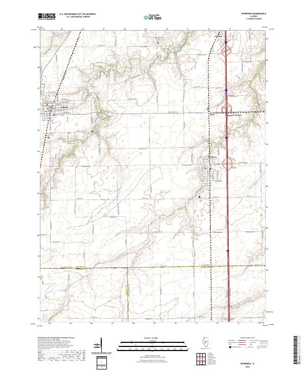
2024 Map of Divernon
USGS Topo · Published 2024About this map
Divernon and Auburn anchor this section of Central Illinois, where the agricultural grid is deeply etched by the winding paths of Sugar Creek and Brush Creek. The landscape reflects a dense history of rural settlement, preserved through family and community landmarks like Wimmer Cem and the Cumberland Sugar Creek Cem. The transit-oriented nature of the area is evident in the cluster of small nodes such as Cimic and Pawnee Junction, which sit along the major north-south corridor cutting through the prairie. While modern infrastructure is prominent, the persistence of local names on roads like Moose Cry Rd and Horse Farm Rd speaks to the region's long-standing connection to the land. This survey also marks the tri-county meeting point of Sangamon, Macoupin, and Montgomery counties, illustrating the political geography underlying the Sangamon River watershed.
Find a feature on this map
87 named features on this map. Tap any name to fly to it.
Don’t see what you’re looking for? This feature index may not catch every label — zoom into the map to look around manually.
Map Details
Editions of this 2024 Divernon Map
This is the sole edition of this map. No revisions or reprints were ever made.
Other maps of this area

1922 · Divernon
USGS Topo · 1:62,500

1923 · Carlinville
USGS Topo · 1:48,000

1923 · Raymond
USGS Topo · 1:62,500

1924 · Divernon
USGS Topo · 1:62,500

1924 · Waverly
USGS Topo · 1:62,500

1925 · Carlinville
USGS Topo · 1:62,500

1925 · Raymond
USGS Topo · 1:62,500

1926 · Waverly
USGS Topo · 1:62,500

1931 · Carlinville
USGS Topo · 1:62,500

1958 · Decatur
USGS Topo · 1:250,000