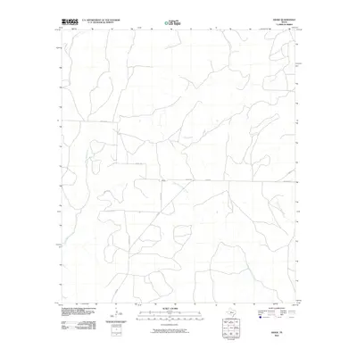
2010 Map of Divide
USGS Topo · Published 2010About this map
Divide stands as a central point of reference in this 2010 depiction of Coke County, where the landscape is defined by a dendritic network of intermittent watercourses. The drainage patterns are significant, with the West Fork Grape Creek and East Fork Grape Creek carving through the terrain alongside Salt Creek and Paint Creek. This area of West Texas maintains a sparse rural character, structured by a functional grid of local roads and state routes.
Find a feature on this map
10 named features on this map. Tap any name to fly to it.
Don’t see what you’re looking for? This feature index may not catch every label — zoom into the map to look around manually.
Map Details
Editions of this 2010 Divide Map
This is the sole edition of this map. No revisions or reprints were ever made.
Other maps of this area

1954 · San Angelo
USGS Topo · 1:250,000

1957 · Carlsbad
USGS Topo · 1:62,500

1958 · San Angelo
USGS Topo · 1:250,000

1962 · Edith
USGS Topo · 1:24,000
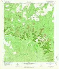
1962 · Millican Mountains
USGS Topo · 1:24,000

1962 · Green Mountain
USGS Topo · 1:24,000

1965 · San Angelo
USGS Topo · 1:250,000

1972 · Dog Creek NE
USGS Topo · 1:24,000

1972 · Broome
USGS Topo · 1:24,000
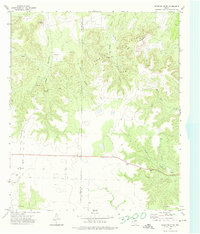
1972 · Crawford Slide
USGS Topo · 1:24,000