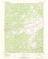
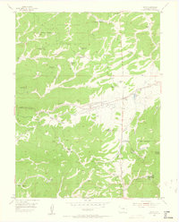
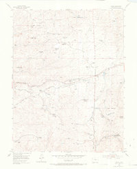
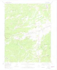
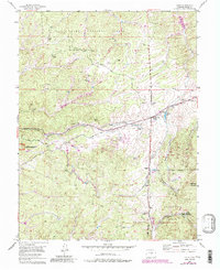
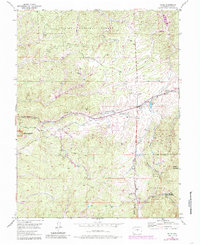
1954 Map of Divide
USGS Topo · Published 1971About this map
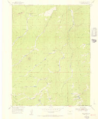
Pike National Forest covers much of this mid-century landscape, where ranching and early tourism converge in the mountains of Teller County. Numerous family-named homesteads and specialty properties are scattered throughout the terrain, including the Lone Ranger Ranch and the Golden Bell Guest Ranch. The settlement of Divide serves as a central hub, situated near the intersection of various ranching roads and the Old Railroad Grade. This transport corridor, which also carries a Pipe Line and Transmission Line, suggests the evolving utility of the old rail paths for modern infrastructure.
Find a feature on this map
51 named features on this map. Tap any name to fly to it.
Don’t see what you’re looking for? This feature index may not catch every label — zoom into the map to look around manually.
Map Details
Editions of this 1954 Divide Map
6 editions found
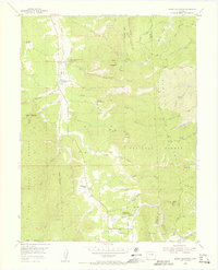
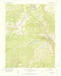
Other maps of this area

1893 · Platte Canyon
USGS Topo · 1:125,000

1894 · Pikes Peak
USGS Topo · 1:125,000

1901 · Pikes Peak
USGS Topo · 1:125,000

1901 · Pikes Peak
USGS Topo · 1:62,500

1951 · Pikes Peak
USGS Topo · 1:24,000

1951 · Cripple Creek North
USGS Topo · 1:24,000

1953 · Denver
USGS Topo · 1:250,000
1954 · Mount Deception
USGS Topo · 1:24,000
1954 · Woodland Park
USGS Topo · 1:24,000
1954 · Signal Butte
USGS Topo · 1:24,000