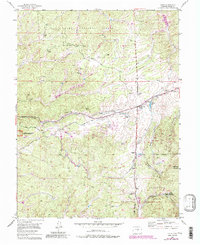
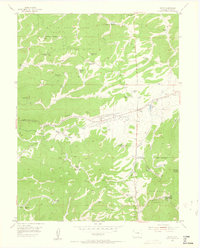
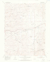
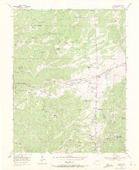
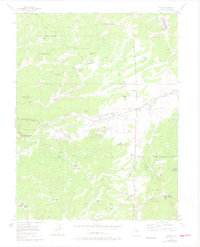
1954 Map of Divide
USGS Topo · Published 1985About this map
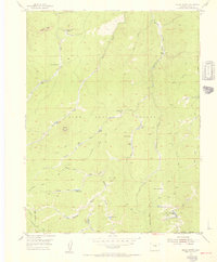
Divide stands as a focal point for this high-altitude landscape, where the presence of the Old Railroad Grade and Black Cloud Mine signals a history of mountain industry and transit. This 1954 survey, updated with 1980s data, illustrates the transition between federal protection and private development. The Pike National Forest and Florissant Fossil Beds National Monument occupy the western and southern reaches, while the Rocky Mountain Mennonite Camp and several state-managed lands like Dome Rock State Park indicate the area's role as a retreat and conservation zone. The terrain is defined by dramatic elevations such as Raspberry Mountain and the deep incisions of Twin Creek and Stone Gulch. Local transit is anchored by specialized routes like Transfer Road and the Upper Twin Rock Road, which navigate the complex topography between Carlson Lake and the various gulches feeding the watershed.
Find a feature on this map
28 named features on this map. Tap any name to fly to it.
Don’t see what you’re looking for? This feature index may not catch every label — zoom into the map to look around manually.
Map Details
Editions of this 1954 Divide Map
6 editions found
Other maps of this area

1893 · Platte Canyon
USGS Topo · 1:125,000

1894 · Pikes Peak
USGS Topo · 1:125,000

1901 · Pikes Peak
USGS Topo · 1:125,000

1901 · Pikes Peak
USGS Topo · 1:62,500

1951 · Pikes Peak
USGS Topo · 1:24,000

1951 · Cripple Creek North
USGS Topo · 1:24,000

1953 · Denver
USGS Topo · 1:250,000
1954 · Mount Deception
USGS Topo · 1:24,000
1954 · Woodland Park
USGS Topo · 1:24,000
1954 · Signal Butte
USGS Topo · 1:24,000