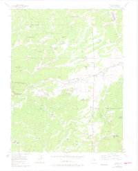
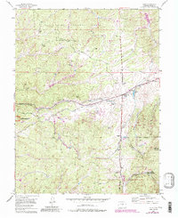
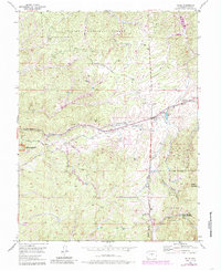
1954 Map of Divide
USGS Topo · Published 1978About this map
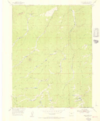
Pike National Forest dominates this high-altitude Colorado landscape, where ranching and resource extraction defined the mid-century economy. The settlement of Divide serves as a central hub, situated near the Divide Cem and the remains of the Old Railroad Grade. This transport corridor was once vital for the region, as evidenced by the numerous named ranch properties like Skyway Ranch and Lone Ranger Ranch that dot the valleys. A sense of shifting land use is visible at the Bethel School (Aband) and the Black Cloud Mine, while the western edge reveals the protected terrain of the Florissant Fossil Beds National Monument. The infrastructure of the era is clearly marked by the Blue River Pipe Line and several substations, illustrating the development of regional utilities alongside traditional mountain homesteads.
Find a feature on this map
46 named features on this map. Tap any name to fly to it.
Don’t see what you’re looking for? This feature index may not catch every label — zoom into the map to look around manually.
Map Details
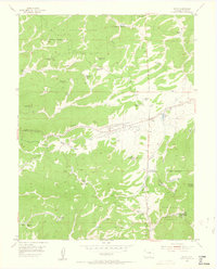
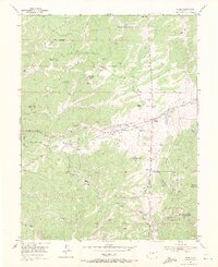
Editions of this 1954 Divide Map
6 editions found
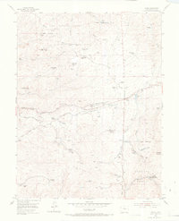
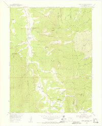
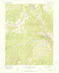
Other maps of this area

1893 · Platte Canyon
USGS Topo · 1:125,000

1894 · Pikes Peak
USGS Topo · 1:125,000

1901 · Pikes Peak
USGS Topo · 1:125,000

1901 · Pikes Peak
USGS Topo · 1:62,500

1951 · Pikes Peak
USGS Topo · 1:24,000

1951 · Cripple Creek North
USGS Topo · 1:24,000

1953 · Denver
USGS Topo · 1:250,000
1954 · Mount Deception
USGS Topo · 1:24,000
1954 · Woodland Park
USGS Topo · 1:24,000
1954 · Signal Butte
USGS Topo · 1:24,000