
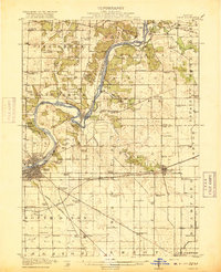
1918 Map of Dixon
USGS Topo · Published 1918About this map
The Rock River meanders through Lee and Ogle Counties in this 1916 survey, defining the character of the northern Illinois landscape. At the center of the sheet, the river performs a massive horseshoe bend at Grand Detour, a village that remains a landmark of pioneer-era settlement. To the southwest, the city of Dixon serves as a major transportation hub, where the Illinois Central and Chicago and Northwestern railroads intersect.
Find a feature on this map
84 named features on this map. Tap any name to fly to it.
Don’t see what you’re looking for? This feature index may not catch every label — zoom into the map to look around manually.
Map Details
Editions of this 1918 Dixon Map
3 editions found
Other maps of this area

1917 · Kings
USGS Topo · 1:62,500

1918 · Kings
USGS Topo · 1:62,500

1922 · Oregon
USGS Topo · 1:62,500

1924 · Oregon
USGS Topo · 1:62,500

1930 · Woodsung
USGS Topo · 1:48,000

1942 · Forreston
USGS Topo · 1:62,500

1945 · Forreston
USGS Topo · 1:62,500

1946 · Sterling
USGS Topo · 1:62,500

1948 · Sterling
USGS Topo · 1:62,500

1949 · Walnut
USGS Topo · 1:62,500