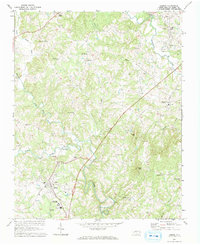
1971 Map of Dobson
USGS Topo · Published 1973About this map
The Fisher River and Little Fisher River converge south of Dobson in this early 1970s topographic study of central Surry County. As the county seat, Dobson serves as a hub of civic and educational life, evidenced by the presence of Surry County Community College, a regional High Sch, and essential infrastructure like a Filtration Plant and Water Tank. The landscape is a mixture of agriculture and small residential clusters such as Toast, White Plains, and Red Brush. Cultural landmarks of the era are visible in the Drive-In Theater along the highway and numerous country churches including Blues Grove Ch and Union Hill Ch. The topography rises toward Stott Knob and Turner Mtn, the latter featuring a Lookout Tower overlooking the winding tributaries of Stewarts Creek and Cooks Creek.
Find a feature on this map
49 named features on this map. Tap any name to fly to it.
Don’t see what you’re looking for? This feature index may not catch every label — zoom into the map to look around manually.
Map Details
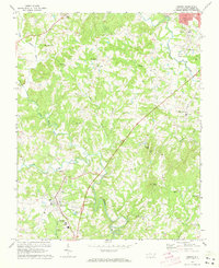
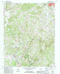
Editions of this 1971 Dobson Map
Other maps of this area

1889 · Hillsville
USGS Topo · 1:125,000

1891 · Yadkinville
USGS Topo · 1:125,000

1892 · Hillsville
USGS Topo · 1:125,000

1893 · Yadkinville
USGS Topo · 1:125,000

1896 · Hillsville
USGS Topo · 1:125,000

1931 · Galax
USGS Topo · 1:48,000

1933 · Galax
USGS Topo · 1:62,500

1953 · Winston-Salem
USGS Topo · 1:250,000

1955 · Winston-Salem
USGS Topo · 1:250,000

1957 · Mount Airy
USGS Topo · 1:62,500