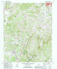
1971 Map of Dobson
USGS Topo · Published 1994About this map
Dobson serves as the focal point for this northern North Carolina landscape, where the Fisher River and its many tributaries like Cody Creek and Stewarts Creek carve through the foothills. The map reveals a dense network of rural communities and social centers, evidenced by the high concentration of country churches such as Union Hill Ch and Blues Grove Ch. In the town of Dobson, the presence of the Surry County Community College and a High Sch indicates its role as an educational hub for the surrounding countryside. A notable vestige of mid-century Americana, the Drive-in Theater, sits just north of the town center. To the north, the Blue Ridge Parkway skirts the edge of the survey area, while scattered settlements like Toast and White Plains represent established crossroads within the undulating terrain.
Find a feature on this map
39 named features on this map. Tap any name to fly to it.
Don’t see what you’re looking for? This feature index may not catch every label — zoom into the map to look around manually.
Map Details
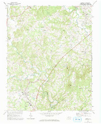
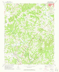
Editions of this 1971 Dobson Map
Other maps of this area

1889 · Hillsville
USGS Topo · 1:125,000

1891 · Yadkinville
USGS Topo · 1:125,000

1892 · Hillsville
USGS Topo · 1:125,000

1893 · Yadkinville
USGS Topo · 1:125,000

1896 · Hillsville
USGS Topo · 1:125,000

1931 · Galax
USGS Topo · 1:48,000

1933 · Galax
USGS Topo · 1:62,500

1953 · Winston-Salem
USGS Topo · 1:250,000

1955 · Winston-Salem
USGS Topo · 1:250,000

1957 · Mount Airy
USGS Topo · 1:62,500