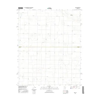
2016 Map of Dodd
USGS Topo · Published 2016About this map
Dodd sits atop the high plains of the Texas Panhandle, positioned along the border between Castro Co and Lamb Co. This landscape is defined by the expansive agricultural grid of the Llano Estacado, where a dense network of county roads such as Co Rd 627 and Co Rd 504 crisscrosses the level terrain. The primary natural break in this geometric pattern is Running Water Draw, which meanders through the northeastern corner of the area.
Find a feature on this map
28 named features on this map. Tap any name to fly to it.
Don’t see what you’re looking for? This feature index may not catch every label — zoom into the map to look around manually.
Map Details
Editions of this 2016 Dodd Map
This is the sole edition of this map. No revisions or reprints were ever made.
Other maps of this area

1954 · Clovis
USGS Topo · 1:250,000

1958 · Clovis
USGS Topo · 1:250,000

1962 · Muleshoe NE
USGS Topo · 1:24,000

1962 · Dodd NE
USGS Topo · 1:24,000

1962 · Springlake
USGS Topo · 1:24,000

1963 · Flagg
USGS Topo · 1:24,000

1963 · Earth
USGS Topo · 1:24,000

1963 · Lazbuddie
USGS Topo · 1:24,000

1963 · Dodd SE
USGS Topo · 1:24,000

1963 · Dodd
USGS Topo · 1:24,000