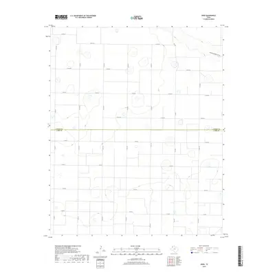
2019 Map of Dodd
USGS Topo · Published 2019About this map
Running Water Draw provides a subtle natural contour to this agricultural landscape in the Texas Panhandle, carving a gentle path through the northeast corner of the quadrangle. This 2019 survey captures the region's orderly geometry, dominated by a vast grid of section roads like Co Rd 627 and Co Rd 30 that facilitate the movement of goods and equipment. The map documents the political boundary between Castro Co and Lamb Co, which bisects the territory horizontally. Modern infrastructure is anchored by secondary highways, including FM 1055, FM 3458, and FM 2901, connecting the scattered farmsteads and rural homesteads that define the local settlement pattern. This map is a clear record of high-plains land use, where the intersection of natural drainage and human-engineered transport routes dictates the rhythm of rural life.
Find a feature on this map
26 named features on this map. Tap any name to fly to it.
Don’t see what you’re looking for? This feature index may not catch every label — zoom into the map to look around manually.
Map Details
Editions of this 2019 Dodd Map
This is the sole edition of this map. No revisions or reprints were ever made.
Other maps of this area

1954 · Clovis
USGS Topo · 1:250,000

1958 · Clovis
USGS Topo · 1:250,000

1962 · Muleshoe NE
USGS Topo · 1:24,000

1962 · Dodd NE
USGS Topo · 1:24,000

1962 · Springlake
USGS Topo · 1:24,000

1963 · Flagg
USGS Topo · 1:24,000

1963 · Earth
USGS Topo · 1:24,000

1963 · Lazbuddie
USGS Topo · 1:24,000

1963 · Dodd SE
USGS Topo · 1:24,000

1963 · Dodd
USGS Topo · 1:24,000