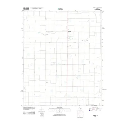
2010 Map of Dodd SE
USGS Topo · Published 2010About this map
Sunnyside anchors this high plains landscape, situated in an area dominated by an orderly grid of section roads and agricultural infrastructure. The terrain is defined by the subtle course of Running Water Draw, which meanders across the northern portion of the quadrangle. This 2010 survey reflects the enduring rural character of the Panhandle, where the landscape is divided by routes such as Co RD 628 and El Paso Camp Rd. For local historians and genealogists, the Springlake Cemetery stands as a significant landmark in the southern half of the map. The network of farm-to-market roads, including Fm 302, illustrates the connection between the small community center and the surrounding productive acreage, preserving the spatial layout of the region as it existed at the start of the 21st century.
Find a feature on this map
25 named features on this map. Tap any name to fly to it.
Don’t see what you’re looking for? This feature index may not catch every label — zoom into the map to look around manually.
Map Details
Editions of this 2010 Dodd SE Map
This is the sole edition of this map. No revisions or reprints were ever made.
Other maps of this area

1954 · Clovis
USGS Topo · 1:250,000

1958 · Clovis
USGS Topo · 1:250,000

1962 · Dodd NE
USGS Topo · 1:24,000

1962 · Springlake
USGS Topo · 1:24,000

1963 · Flagg
USGS Topo · 1:24,000

1963 · Hart NW
USGS Topo · 1:24,000

1963 · Earth
USGS Topo · 1:24,000

1963 · Olton
USGS Topo · 1:24,000

1963 · Dodd SE
USGS Topo · 1:24,000

1963 · Dodd
USGS Topo · 1:24,000