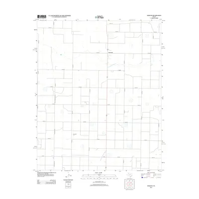
2012 Map of Dodd SE
USGS Topo · Published 2012About this map
Sunnyside serves as the primary focal point of this 2012 survey, situated within an expansive agricultural landscape defined by a rigid grid of county roads. The settlement’s position along a primary north-south corridor underscores its role as a local crossroads in the Texas Panhandle. To the southwest, Springlake Cem provides a significant touchpoint for family historians and genealogists, marking a quiet landmark amidst the surrounding farmstead plots. The transportation network is anchored by several state and county designations, including Farm-To-Market Road 392 and Ranch Road 392, reflecting the regional reliance on these routes for moving livestock and crops. The map also records numerous seasonal depressions or playa lakes that punctuate the plains, appearing as scattered basins between numbered corridors like Co Rd-44 and Co Rd-54.
Find a feature on this map
27 named features on this map. Tap any name to fly to it.
Don’t see what you’re looking for? This feature index may not catch every label — zoom into the map to look around manually.
Map Details
Editions of this 2012 Dodd SE Map
This is the sole edition of this map. No revisions or reprints were ever made.
Other maps of this area

1954 · Clovis
USGS Topo · 1:250,000

1958 · Clovis
USGS Topo · 1:250,000

1962 · Dodd NE
USGS Topo · 1:24,000

1962 · Springlake
USGS Topo · 1:24,000

1963 · Flagg
USGS Topo · 1:24,000

1963 · Hart NW
USGS Topo · 1:24,000

1963 · Earth
USGS Topo · 1:24,000

1963 · Olton
USGS Topo · 1:24,000

1963 · Dodd SE
USGS Topo · 1:24,000

1963 · Dodd
USGS Topo · 1:24,000