2024 Map of Dodge
USGS Topo · Published 2024About this map
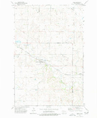
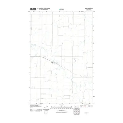
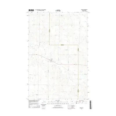
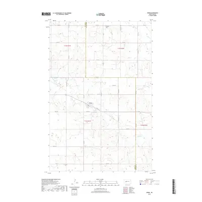
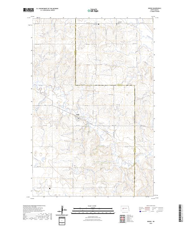
Dodge serves as the central hub of this North Dakota landscape, situated at the intersection of a grid-based road network and the natural winding path of Spring Creek. The area is defined by its deep roots in the rural plains, where the land is divided by the border of Dunn County and Mercer County. This 2024 survey documents a community shaped by its faith and history, with multiple burial grounds marking the landscape, including Saint Pauls Lutheran Cem to the north and Loring Cem to the south near 11th St SW. The hydrology of the region is dominated by several drainages such as Cottonwood Creek and Goodman Creek, which carve through the high prairie terrain. The map provides a contemporary record of the township and range system, specifically within t145n r91w and t144n r91w, showing how modern infrastructure follows the established section lines of the early frontier.
Find a feature on this map
27 named features on this map. Tap any name to fly to it.
Don’t see what you’re looking for? This feature index may not catch every label — zoom into the map to look around manually.
Map Details
Editions of this 2024 Dodge Map
This is the sole edition of this map. No revisions or reprints were ever made.
Historical Maps of Dodge Through Time
6 maps found