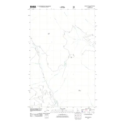
2011 Map of Dodge Peak
USGS Topo · Published 2011About this map
Apache Ridge and White Mountain dominate the high-elevation terrain of northern Bonner County in this 2011 survey. The landscape is defined by the drainage systems of the Pack River, which is flanked by the Pack River Rd as it winds through the western portion of the quadrangle. Several high-country creeks, including Roman Nose Creek, Fall Creek, and Highland Creek, feed into the local hydrology from the surrounding peaks. Access to these remote elevations is marked by the Roman Nose Lookout Rd, which leads toward the prominent summit of Dodge Peak. This map illustrates the intersection of modern Forest Service infrastructure with the steep, creek-cut topography of the Idaho panhandle, providing a detailed record of the ridgelines and watercourses that define the Selkirk Mountains region.
Find a feature on this map
17 named features on this map. Tap any name to fly to it.
Don’t see what you’re looking for? This feature index may not catch every label — zoom into the map to look around manually.
Map Details
Editions of this 2011 Dodge Peak Map
This is the sole edition of this map. No revisions or reprints were ever made.
Other maps of this area

1901 · Sandpoint
USGS Topo · 1:125,000

1911 · Priest Lake
USGS Topo · 1:250,000

1911 · Sandpoint
USGS Topo · 1:125,000

1913 · Priest Lake
USGS Topo · 1:250,000

1951 · Elmira
USGS Topo · 1:62,500

1958 · Sandpoint
USGS Topo · 1:250,000

1963 · Sandpoint
USGS Topo · 1:250,000

1965 · Moravia
USGS Topo · 1:24,000

1965 · Naples
USGS Topo · 1:24,000

1967 · The Wigwams
USGS Topo · 1:24,000