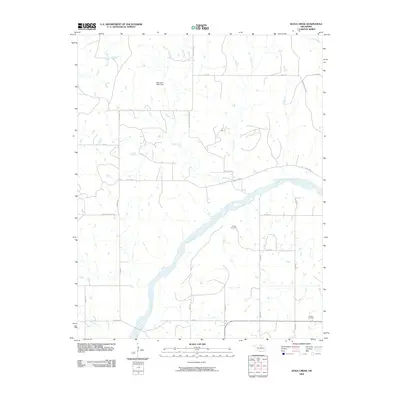
2009 Map of Doga Creek
USGS Topo · Published 2009About this map
The Arkansas River carves a broad path through this Osage County landscape, defining the local topography as it flows toward the southeast. In the early 21st century, this area remains characterized by its sparse rural road network and water management, notably the Oknoname 13901 Dam located north of the river. The land is drained by a series of significant tributaries, including Doga Creek, Big Drum Creek, and Clear Creek, which create a complex drainage pattern across the plains.
Find a feature on this map
31 named features on this map. Tap any name to fly to it.
Don’t see what you’re looking for? This feature index may not catch every label — zoom into the map to look around manually.
Map Details
Editions of this 2009 Doga Creek Map
This is the sole edition of this map. No revisions or reprints were ever made.
Other maps of this area

1929 · Skedee
USGS Topo · 1:62,500

1930 · Pawnee
USGS Topo · 1:62,500

1931 · Skedee
USGS Topo · 1:62,500

1932 · Fairfax
USGS Topo · 1:62,500

1936 · Belford
USGS Topo · 1:62,500

1936 · Pawnee
USGS Topo · 1:62,500

1955 · Enid
USGS Topo · 1:250,000

1958 · Enid
USGS Topo · 1:250,000

1963 · Charley Creek
USGS Topo · 1:24,000

1964 · Charley Creek NE
USGS Topo · 1:24,000