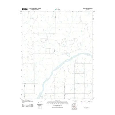
2012 Map of Doga Creek
USGS Topo · Published 2012About this map
The Arkansas River cuts a wide diagonal path through this Osage County landscape, defining the local geography and drainage patterns for numerous seasonal streams. Small tributaries including Big Drum Cr, Clear Cr, and Doga Cr feed into the main river channel, creating a complex network of draws and ridges. The settlement of Doga serves as a central point in a rural grid of section-line roads, such as n3470 RD and e0310 RD. For those researching local history or genealogy, the map identifies specific burial sites like Drake Cem near the river bluffs and Ralston Cem in the southeastern corner. This survey documents the transition between the upland prairie and the river bottomlands in the early 21st century.
Find a feature on this map
28 named features on this map. Tap any name to fly to it.
Don’t see what you’re looking for? This feature index may not catch every label — zoom into the map to look around manually.
Map Details
Editions of this 2012 Doga Creek Map
This is the sole edition of this map. No revisions or reprints were ever made.
Other maps of this area

1929 · Skedee
USGS Topo · 1:62,500

1930 · Pawnee
USGS Topo · 1:62,500

1931 · Skedee
USGS Topo · 1:62,500

1932 · Fairfax
USGS Topo · 1:62,500

1936 · Belford
USGS Topo · 1:62,500

1936 · Pawnee
USGS Topo · 1:62,500

1955 · Enid
USGS Topo · 1:250,000

1958 · Enid
USGS Topo · 1:250,000

1963 · Charley Creek
USGS Topo · 1:24,000

1964 · Charley Creek NE
USGS Topo · 1:24,000