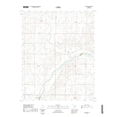
2018 Map of Doga Creek
USGS Topo · Published 2018About this map
The Arkansas River carves a diagonal path across this Oklahoma landscape, serving as the natural boundary between Osage Co and Pawnee Co. The terrain is defined by a dense network of tributaries including Doga Cr, Clear Cr, and Wild Cr, which feed into the main river channel from the north. The small community of Doga sits at the junction of several rural routes, illustrating the persistent settlement patterns of this ranching and agricultural region. Genealogy researchers will find several localized burial sites recorded, such as Drake Cem and Ralston Cem, which are located in the southern half of the quadrangle near the river's winding bends. The road network, including Round Mound Rd and Big Bend Rd, follows the irregular contours of the land, avoiding the steeper breaks and drainage basins that characterize the northern Osage hills.
Find a feature on this map
43 named features on this map. Tap any name to fly to it.
Don’t see what you’re looking for? This feature index may not catch every label — zoom into the map to look around manually.
Map Details
Editions of this 2018 Doga Creek Map
This is the sole edition of this map. No revisions or reprints were ever made.
Other maps of this area

1929 · Skedee
USGS Topo · 1:62,500

1930 · Pawnee
USGS Topo · 1:62,500

1931 · Skedee
USGS Topo · 1:62,500

1932 · Fairfax
USGS Topo · 1:62,500

1936 · Belford
USGS Topo · 1:62,500

1936 · Pawnee
USGS Topo · 1:62,500

1955 · Enid
USGS Topo · 1:250,000

1958 · Enid
USGS Topo · 1:250,000

1963 · Charley Creek
USGS Topo · 1:24,000

1964 · Charley Creek NE
USGS Topo · 1:24,000