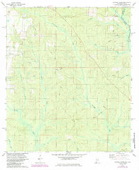
1978 Map of Dogwood Creek
USGS Topo · Published 1985About this map
Dogwood Creek and Hollinger Creek carve through the wooded landscape of eastern Alabama and the Florida borderlands in this mid-1970s topographic study. The area is defined by its intricate drainage network, where the Perdido River forms the state boundary and the Styx River flows through the southwest corner. Human activity is centered on small settlements like Pine Grove and natural resource extraction, evidenced by a Sandpit and Claypit located near the northern reaches of the quadrangle.
Find a feature on this map
25 named features on this map. Tap any name to fly to it.
Don’t see what you’re looking for? This feature index may not catch every label — zoom into the map to look around manually.
Map Details
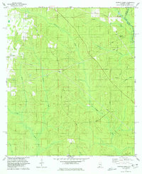
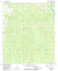
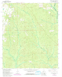
Editions of this 1978 Dogwood Creek Map
4 editions found
Other maps of this area

1920 · Robertsdale
USGS Topo · 1:62,500

1921 · Fairhope
USGS Topo · 1:62,500

1941 · Bay Minette
USGS Topo · 1:62,500

1941 · Robertsdale
USGS Topo · 1:62,500

1941 · Fairhope
USGS Topo · 1:62,500

1942 · Dyas
USGS Topo · 1:62,500

1943 · Robertsdale
USGS Topo · 1:62,500

1943 · Bay Minette
USGS Topo · 1:62,500
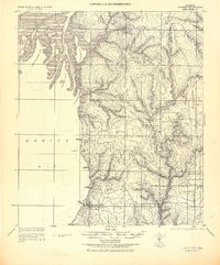
1943 · Fairhope
USGS Topo · 1:62,500
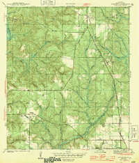
1944 · Stapleton
USGS Topo · 1:31,680