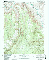
1985 Map of Dolores Point North
USGS Topo · Published 1986About this map
The Dolores River winds through the high desert landscape of the Utah-Colorado border, marked by numerous rapids as it carves between massive plateau formations. This mid-1980s survey documents a region defined by its verticality, where Polar Mesa, Beaver Mesa, and Dolores Point dominate the horizon. The presence of several Mines and a scattered network of 4wd tracks suggests a history of resource extraction within the Manti-La Sal National Forest and along the flanks of South Beaver Mesa. These uplands are dissected by deep drainages like Gateway Canyon and Lumsden Canyon, which descend toward the river valley. The map captures the remote nature of the state line before modern development, identifying isolated features such as DP Spring and a Radio Tower that served as vital landmarks for those navigating this complex terrain.
Find a feature on this map
22 named features on this map. Tap any name to fly to it.
Don’t see what you’re looking for? This feature index may not catch every label — zoom into the map to look around manually.
Map Details
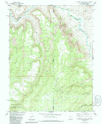
Editions of this 1985 Dolores Point North Map
2 editions found
Other maps of this area

1885 · La Sal
USGS Topo · 1:250,000

1949 · Juanita Arch
USGS Topo · 1:24,000

1949 · Gateway
USGS Topo · 1:24,000

1950 · Juanita Arch
USGS Topo · 1:24,000

1952 · Gateway
USGS Topo · 1:24,000

1954 · Mt. Waas 4 SE
USGS Topo · 1:24,000

1954 · Mt. Waas 4 SW
USGS Topo · 1:24,000

1954 · Mt. Waas 4 NE
USGS Topo · 1:24,000

1954 · Mt. Waas 4 NW
USGS Topo · 1:24,000

1954 · Mt. Waas 1 SW
USGS Topo · 1:24,000