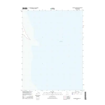
2017 Map of Dolphin Island East
USGS Topo · Published 2017About this map
Great Salt Lake dominates the visual field of this Box Elder County survey, capturing the terminal lake's eastern waters during the late 2010s. The topographic data focuses primarily on the vast expanse of the northern arm, illustrating the shifting boundaries of this saline environment. While much of the quadrangle is submerged, the map tracks the subtle changes in bathymetry and the shoreline interface as it existed in 2017. This specific section is vital for researchers monitoring the long-term hydrologic cycles and environmental fluctuations of one of North America's most distinctive geographic features.
Find a feature on this map
1 named feature on this map. Tap any name to fly to it.
Don’t see what you’re looking for? This feature index may not catch every label — zoom into the map to look around manually.
Map Details
Editions of this 2017 Dolphin Island East Map
This is the sole edition of this map. No revisions or reprints were ever made.
Other maps of this area

1954 · Brigham City
USGS Topo · 1:250,000

1958 · Brigham City
USGS Topo · 1:250,000

1962 · Brigham City
USGS Topo · 1:250,000

1968 · Coyote Point
USGS Topo · 1:24,000

1969 · Spring Bay SW
USGS Topo · 1:24,000

1969 · Dolphin Island West
USGS Topo · 1:24,000

1969 · Gunnison Island SW
USGS Topo · 1:24,000

1969 · Gunnison Island
USGS Topo · 1:24,000
1969 · Gunnison Island NE
USGS Topo · 1:24,000
1969 · Dolphin Island East
USGS Topo · 1:24,000