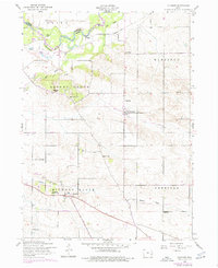
1953 Map of Donahue
USGS Topo · Published 1977About this map
The Wapsipinicon River winds through the northern reaches of this Scott County landscape, defining the boundary between Olive and Allens Grove townships. This mid-century topography reveals a rural transition, where the legacy of early rail infrastructure is still visible through the Old Railroad Grade and sections of Dismantled Railroad that once connected these agricultural communities.
Find a feature on this map
27 named features on this map. Tap any name to fly to it.
Don’t see what you’re looking for? This feature index may not catch every label — zoom into the map to look around manually.
Map Details
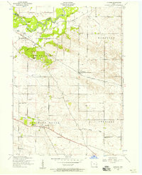
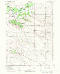
Editions of this 1953 Donahue Map
Other maps of this area

1890 · Durant
USGS Topo · 1:62,500

1891 · DeWitt
USGS Topo · 1:62,500

1891 · Davenport
USGS Topo · 1:62,500

1892 · Wheatland
USGS Topo · 1:62,500

1894 · Wheatland
USGS Topo · 1:62,500

1894 · Durant
USGS Topo · 1:62,500

1894 · Davenport
USGS Topo · 1:62,500

1901 · Rock Island
USGS Topo · 1:125,000

1910 · Rock Island
USGS Topo · 1:125,000
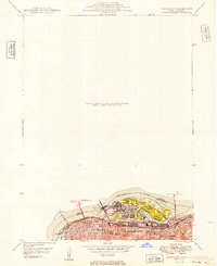
1949 · Davenport
USGS Topo · 1:24,000