
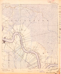
1892 Map of Donaldsonville
USGS Topo · Published 1892About this map
The Mississippi River defines the landscape of the river parishes in the 1890s, winding past established landings and sugar country settlements. The survey reveals the precarious nature of life on the levee, explicitly marking the Nita Crevasse and the resulting alluvial deposit that scarred the eastern bank. This geological detail offers a direct record of a specific catastrophic flood event that reshaped the local topography and economy just prior to the mapping.
Find a feature on this map
40 named features on this map. Tap any name to fly to it.
Don’t see what you’re looking for? This feature index may not catch every label — zoom into the map to look around manually.
Map Details
Editions of this 1892 Donaldsonville Map
12 editions found
1892 edition
16.1 x 19.7 inches
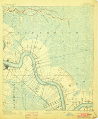
1897 edition
16.6 x 20.1 inches
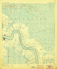
1903 edition
16.5 x 19.9 inches
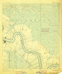
1905 edition
16.5 x 19.9 inches
1906 edition
16.5 x 19.8 inches
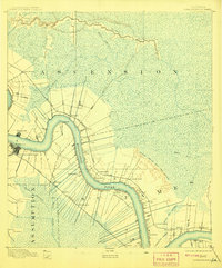
1908 edition
16.5 x 19.9 inches
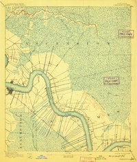
1910 edition
16.6 x 19.5 inches
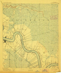
1912 edition
16.7 x 19.8 inches
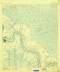
1915 edition
16.6 x 19.9 inches
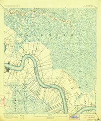
1923 edition
16.6 x 20 inches
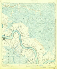
1931 edition
16.4 x 19.8 inches
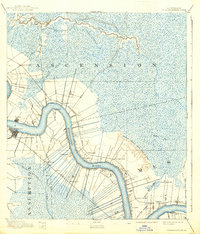
1938 edition
16.9 x 19.8 inches
Other maps of this area

1892 · Lac Des Allemands
USGS Topo · 1:62,500

1892 · Mount Airy
USGS Topo · 1:62,500

1892 · Thibodaux
USGS Topo · 1:62,500

1908 · Baton Rouge
USGS Topo · 1:62,500

1927 · Thibodaux NW
USGS Topo · 1:31,680

1932 · Lac Des Allemands NW
USGS Topo · 1:31,680

1932 · Thibodaux NE
USGS Topo · 1:31,680

1934 · Denham Springs
USGS Topo · 1:62,500

1934 · Springfield
USGS Topo · 1:62,500

1935 · Gonzales
USGS Topo · 1:31,680