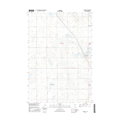
2016 Map of Donnelly
USGS Topo · Published 2016About this map
Donnelly serves as the primary hub of this Stevens County landscape, situated along a prominent north-south rail line that cuts through the glacial prairie. The town's local history is anchored by several rural burying grounds including Kongsvinger Lutheran Cem to the north and a cluster of three cemeteries—Vinger Cem, Saint Theresia Cem, and Lundberg Cem—immediately east and south of the town center. This high density of cemeteries relative to the small settlement suggests a long-established community of Norwegian and German heritage that settled the surrounding sections. The topography is defined by numerous depressions and wetlands, characteristic of the prairie pothole region, with Lundberg Lake and the meandering Twelvemile Cr providing natural drainage. Rural roads like Co HWY 9 and Co HWY 18 follow the rigid Public Land Survey System grid, partitioning the land into expansive agricultural fields between Fish Lake and Barrett Lake.
Find a feature on this map
33 named features on this map. Tap any name to fly to it.
Don’t see what you’re looking for? This feature index may not catch every label — zoom into the map to look around manually.
Map Details
Editions of this 2016 Donnelly Map
This is the sole edition of this map. No revisions or reprints were ever made.
Other maps of this area
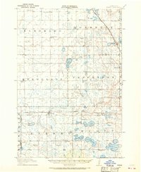
1910 · Chokio
USGS Topo · 1:62,500
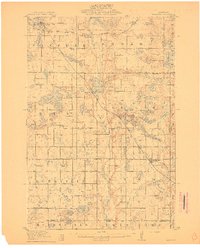
1911 · Barrett
USGS Topo · 1:62,500
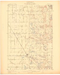
1911 · Herman
USGS Topo · 1:62,500
1912 · Chokio
USGS Topo · 1:62,500
1912 · Morris
USGS Topo · 1:62,500
1953 · Milbank
USGS Topo · 1:250,000
1953 · Saint Cloud
USGS Topo · 1:250,000
1957 · Saint Cloud
USGS Topo · 1:250,000
1958 · Milbank
USGS Topo · 1:250,000
1958 · Saint Cloud
USGS Topo · 1:250,000