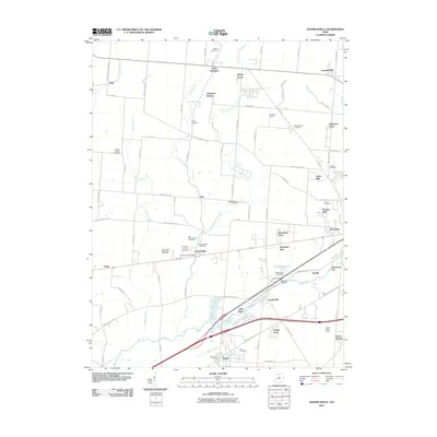
2010 Map of Donnelsville
USGS Topo · Published 2010About this map
Donnelsville and Enon anchor this portion of Clark County, where the southern plains meet the drainage of the Mad River. The landscape is a patchwork of small residential developments and agricultural reaches, characterized by numerous family and community burial grounds including Asbury Cemetery, Myers Cemetery, and the Old Donnelsville Cemetery. This 2010 survey shows the detailed suburban expansion into rural areas through small named neighborhoods like Broadview Acres, Balentine Acres, and Sycamore West. Waterways such as Donnels Creek and Jackson Creek cut across the grid of section roads like Black Pike and Detrick Jordan Pike. The area near Durbin and Snyderville illustrates the concentration of infrastructure along the river valley, where major transport routes parallel the water, passing landmarks like Hosterman Lake and its associated dam.
Find a feature on this map
87 named features on this map. Tap any name to fly to it.
Don’t see what you’re looking for? This feature index may not catch every label — zoom into the map to look around manually.
Map Details
Editions of this 2010 Donnelsville Map
This is the sole edition of this map. No revisions or reprints were ever made.
Other maps of this area

1904 · Springfield
USGS Topo · 1:62,500

1904 · Dayton
USGS Topo · 1:62,500

1906 · Dayton
USGS Topo · 1:62,500

1906 · Springfield
USGS Topo · 1:62,500

1914 · Troy
USGS Topo · 1:62,500

1914 · St. Paris
USGS Topo · 1:62,500

1916 · St. Paris
USGS Topo · 1:62,500

1944 · St. Paris
USGS Topo · 1:62,500

1944 · Troy
USGS Topo · 1:62,500

1947 · Columbus
USGS Topo · 1:250,000