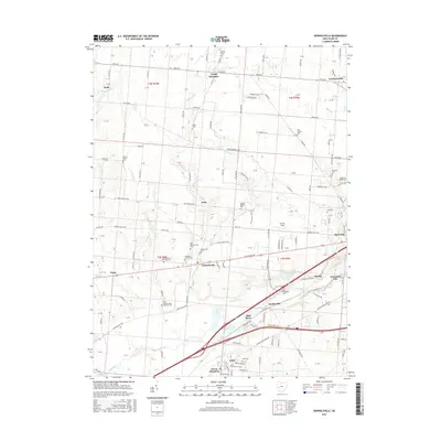
2016 Map of Donnelsville
USGS Topo · Published 2016About this map
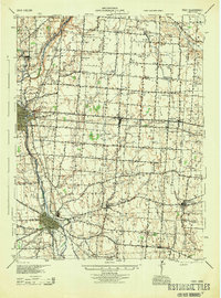
The Mad River and its accompanying drainages like Donnels Cr and Jackson Cr define the agricultural and residential landscape of Clark County. This 2016 survey highlights a corridor of development along W National Rd and the Lower Valley Pike, where small settlements such as Donnelsville and Snyderville sit amidst a heavy concentration of historical burial grounds. Genealogists will find a high density of sites including the Old Donnelsville Cem, Enon Cem, and the unique Wildason Animal Cem.
Find a feature on this map
112 named features on this map. Tap any name to fly to it.
Don’t see what you’re looking for? This feature index may not catch every label — zoom into the map to look around manually.
Map Details
Editions of this 2016 Donnelsville Map
This is the sole edition of this map. No revisions or reprints were ever made.
Other maps of this area

1904 · Springfield
USGS Topo · 1:62,500
1904 · Dayton
USGS Topo · 1:62,500
1906 · Dayton
USGS Topo · 1:62,500
1906 · Springfield
USGS Topo · 1:62,500
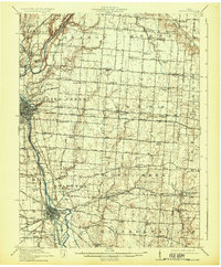
1914 · Troy
USGS Topo · 1:62,500
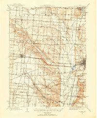
1914 · St. Paris
USGS Topo · 1:62,500
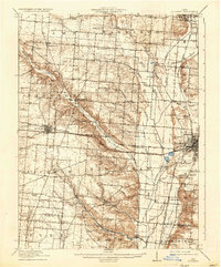
1916 · St. Paris
USGS Topo · 1:62,500
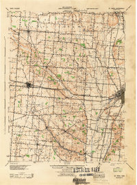
1944 · St. Paris
USGS Topo · 1:62,500
1944 · Troy
USGS Topo · 1:62,500

1947 · Columbus
USGS Topo · 1:250,000