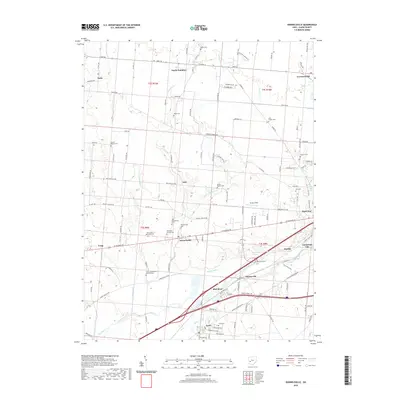
2019 Map of Donnelsville
USGS Topo · Published 2019About this map
The Mad River valley in Clark County anchors a landscape defined by its network of agricultural hamlets and historic cemeteries. This 2019 survey documents the enduring settlement patterns of North Hampton and Donnelsville, while tracing the course of Donnels Cr and its eastern fork through the township. The density of burial grounds provides a wealth of genealogical data, from the Old Donnelsville Cem and Liberty Pilgrim Cem to the unique Wildason Animal Cem.
Find a feature on this map
124 named features on this map. Tap any name to fly to it.
Don’t see what you’re looking for? This feature index may not catch every label — zoom into the map to look around manually.
Map Details
Editions of this 2019 Donnelsville Map
This is the sole edition of this map. No revisions or reprints were ever made.
Other maps of this area

1904 · Springfield
USGS Topo · 1:62,500

1904 · Dayton
USGS Topo · 1:62,500

1906 · Dayton
USGS Topo · 1:62,500

1906 · Springfield
USGS Topo · 1:62,500

1914 · Troy
USGS Topo · 1:62,500

1914 · St. Paris
USGS Topo · 1:62,500

1916 · St. Paris
USGS Topo · 1:62,500

1944 · St. Paris
USGS Topo · 1:62,500

1944 · Troy
USGS Topo · 1:62,500

1947 · Columbus
USGS Topo · 1:250,000