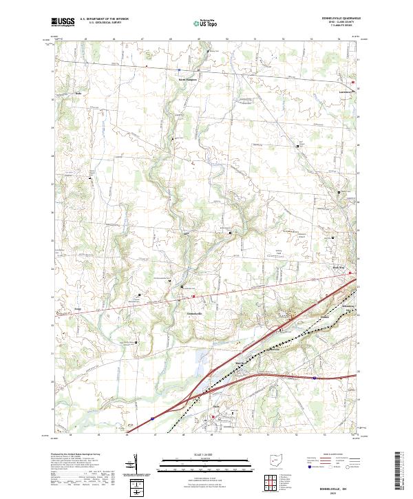
2023 Map of Donnelsville
USGS Topo · Published 2023About this map
The Mad River valley defines the lower portion of this map, carving a broad path through Clark County as it passes by Enon and Snyderville. This modern survey highlights a landscape where local history is preserved in a dense network of burial grounds, ranging from the prominent Glen Haven Memorial Cem on the W National Rd to smaller sites like Asbury Cem and Myers Cem. The transition from the more developed southern corridor to the agricultural expanses of the north is evident around North Hampton and Donnelsville. Notable landmarks such as Hickerson Airport and Victory Field sit east of the East Fork Donnels Creek, while the Clark County Home Infirmary Cem offers a poignant touchpoint for local genealogists. Historical transport routes like the Lower Valley Pike and Black Pike connect scattered hamlets including Forgy, Dodo, and Lawrenceville.
Find a feature on this map
62 named features on this map. Tap any name to fly to it.
Don’t see what you’re looking for? This feature index may not catch every label — zoom into the map to look around manually.
Map Details
Editions of this 2023 Donnelsville Map
This is the sole edition of this map. No revisions or reprints were ever made.
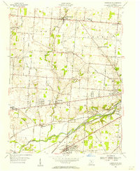
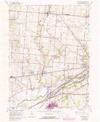
Historical Maps of Dodo Through Time
3 maps found