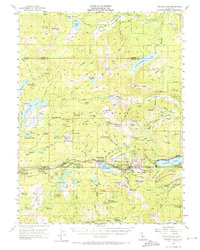
1955 Map of Donner Pass
USGS Topo · Published 1971About this map
The Southern Pacific Railroad carves a critical path through the high Sierra Nevada, following the historic transcontinental corridor across Donner Pass. This mid-century survey captures the rugged alpine landscape where the rail line and the growing highway network supported seasonal recreation and essential transit between the Sacramento Valley and the Truckee basin. Clusters of development at Soda Springs, Norden, and Kingvale serve as focal points for the region's early winter sports and summer camping industries.
Find a feature on this map
139 named features on this map. Tap any name to fly to it.
Don’t see what you’re looking for? This feature index may not catch every label — zoom into the map to look around manually.
Map Details
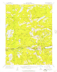
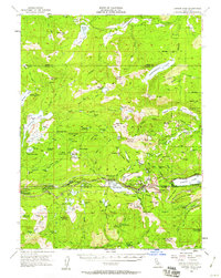
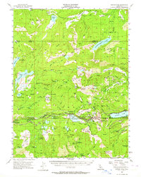
Editions of this 1955 Donner Pass Map
4 editions found
Other maps of this area

1890 · Sierraville
USGS Topo · 1:125,000

1891 · Downieville
USGS Topo · 1:125,000

1891 · Colfax
USGS Topo · 1:125,000

1891 · Truckee
USGS Topo · 1:125,000

1892 · Sierraville
USGS Topo · 1:125,000

1892 · Colfax
USGS Topo · 1:125,000

1893 · Truckee
USGS Topo · 1:125,000

1893 · Downieville
USGS Topo · 1:125,000

1894 · Colfax
USGS Topo · 1:125,000

1894 · Sierraville
USGS Topo · 1:125,000