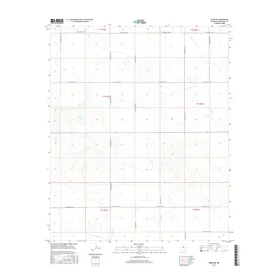
2017 Map of Dora NW
USGS Topo · Published 2017About this map
Red Lake serves as a primary geographical marker in this high plains landscape of Roosevelt County, New Mexico. The area is defined by a rigid rectilinear grid of section lines and gravel paths, where S Roosevelt Road 18 and S Roosevelt Road 20 bisect the open terrain. This 2017 survey shows the persistent structure of the Public Land Survey System, with the land divided into townships and ranges that have shaped local ranching and agricultural boundaries for generations. The drainage patterns and topographic contours reveal a series of subtle depressions and intermittent water features typical of the Llano Estacado. Navigational arteries like S Roosevelt Road Y and S Roosevelt Road X provide access to the remote sections between the sparse water sources, illustrating the organized, low-density settlement pattern of the eastern New Mexico borderlands.
Find a feature on this map
11 named features on this map. Tap any name to fly to it.
Don’t see what you’re looking for? This feature index may not catch every label — zoom into the map to look around manually.
Map Details
Editions of this 2017 Dora NW Map
This is the sole edition of this map. No revisions or reprints were ever made.
Other maps of this area

1954 · Clovis
USGS Topo · 1:250,000

1954 · Brownfield
USGS Topo · 1:250,000
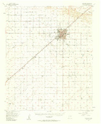
1957 · Portales
USGS Topo · 1:62,500

1958 · Brownfield
USGS Topo · 1:250,000

1958 · Clovis
USGS Topo · 1:250,000

1962 · Brownfield
USGS Topo · 1:250,000
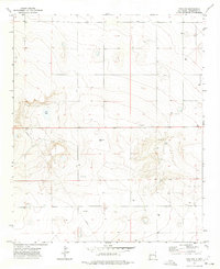
1972 · Dora NW
USGS Topo · 1:24,000
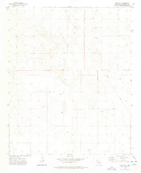
1972 · Dora SW
USGS Topo · 1:24,000
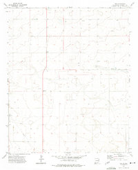
1972 · Pep
USGS Topo · 1:24,000
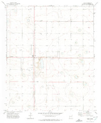
1972 · Dora
USGS Topo · 1:24,000