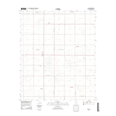
2013 Map of Dora
USGS Topo · Published 2013About this map
The high plains of eastern New Mexico define this Roosevelt County landscape, where the town of Dora serves as a central hub at the intersection of Nm-114 and State Road 206. The settlement pattern follows a rigid township and range grid, evidenced by the numerous Roosevelt Road designations such as S Roosevelt Road Q and S Roosevelt Road 24 that divide the terrain into predictable sections. Local institutional history is anchored by the Po in town and the Mt Zion Cem located several miles to the north. The presence of the Ruvalcaba Dairy southeast of the village center highlights the region's agricultural character, where large-scale operations utilize the relatively level topography. This survey captures a moment when the rural road network remained essential for connecting isolated farmsteads and agricultural facilities across the expansive plateau.
Find a feature on this map
17 named features on this map. Tap any name to fly to it.
Don’t see what you’re looking for? This feature index may not catch every label — zoom into the map to look around manually.
Map Details
Editions of this 2013 Dora Map
This is the sole edition of this map. No revisions or reprints were ever made.
Other maps of this area

1954 · Clovis
USGS Topo · 1:250,000

1954 · Brownfield
USGS Topo · 1:250,000
1957 · Arch
USGS Topo · 1:62,500
1957 · Portales
USGS Topo · 1:62,500

1958 · Brownfield
USGS Topo · 1:250,000

1958 · Clovis
USGS Topo · 1:250,000

1962 · Brownfield
USGS Topo · 1:250,000
1972 · Dora NW
USGS Topo · 1:24,000
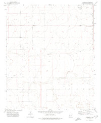
1972 · Garrison
USGS Topo · 1:24,000
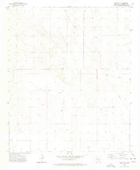
1972 · Dora SW
USGS Topo · 1:24,000