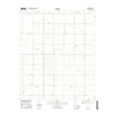
2017 Map of Dora
USGS Topo · Published 2017About this map
The settlement of Dora serves as the focal point of this Roosevelt County landscape, situated at the junction of Dora Main St and E Ave A. This agricultural region is defined by a rigid grid of section lines and county roads, reflecting the systematic land division of the Public Land Survey System across the High Plains. To the north, the Mount Zion Cem stands as a significant landmark for local genealogy and history, located near S Roosevelt Road 18. The surrounding terrain is marked by numerous small depressions and playas, characteristic of the Llano Estacado. A network of secondary routes, including S Roosevelt Road 20 and S Roosevelt Road 24, facilitates movement between the scattered farmsteads and the central village, illustrating the enduring spatial organization of rural New Mexico.
Find a feature on this map
26 named features on this map. Tap any name to fly to it.
Don’t see what you’re looking for? This feature index may not catch every label — zoom into the map to look around manually.
Map Details
Editions of this 2017 Dora Map
This is the sole edition of this map. No revisions or reprints were ever made.
Other maps of this area

1954 · Clovis
USGS Topo · 1:250,000

1954 · Brownfield
USGS Topo · 1:250,000
1957 · Arch
USGS Topo · 1:62,500
1957 · Portales
USGS Topo · 1:62,500

1958 · Brownfield
USGS Topo · 1:250,000

1958 · Clovis
USGS Topo · 1:250,000

1962 · Brownfield
USGS Topo · 1:250,000
1972 · Dora NW
USGS Topo · 1:24,000
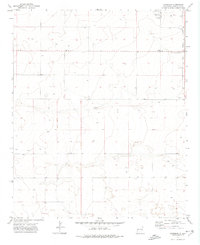
1972 · Garrison
USGS Topo · 1:24,000
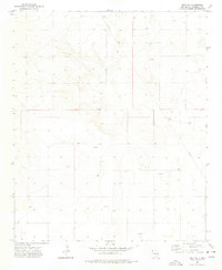
1972 · Dora SW
USGS Topo · 1:24,000