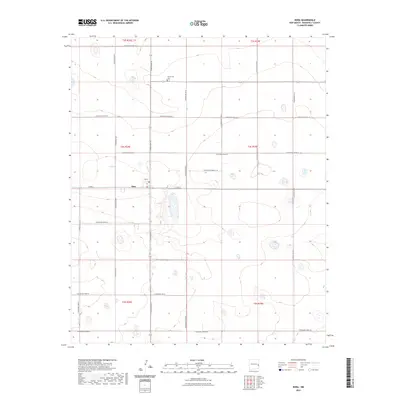
2023 Map of Dora
USGS Topo · Published 2023About this map
The high plains of eastern New Mexico define this area around Dora, where a rigid grid of agricultural roads organizes the landscape. The settlement itself is centered at the intersection of Dora Main Street and East Avenue A, serving as a localized hub for the surrounding Roosevelt County farms. To the north, Mount Zion Cemetery sits along South Roosevelt Road 20, providing a significant site for genealogical research and local history. The map illustrates a strictly surveyed territory, where Township and Range lines such as t4s r34e and t4s r35e dictate the placement of secondary connectors like South Roosevelt Road 21. This 2023 data reflects the enduring rural character of the region, where the vast majority of the terrain is given over to wide-scale land divisions punctuated only by occasional depressions and drainage features.
Find a feature on this map
25 named features on this map. Tap any name to fly to it.
Don’t see what you’re looking for? This feature index may not catch every label — zoom into the map to look around manually.
Map Details
Editions of this 2023 Dora Map
This is the sole edition of this map. No revisions or reprints were ever made.
Other maps of this area

1954 · Clovis
USGS Topo · 1:250,000

1954 · Brownfield
USGS Topo · 1:250,000

1957 · Arch
USGS Topo · 1:62,500

1957 · Portales
USGS Topo · 1:62,500

1958 · Brownfield
USGS Topo · 1:250,000

1958 · Clovis
USGS Topo · 1:250,000

1962 · Brownfield
USGS Topo · 1:250,000

1972 · Dora NW
USGS Topo · 1:24,000

1972 · Garrison
USGS Topo · 1:24,000

1972 · Dora SW
USGS Topo · 1:24,000