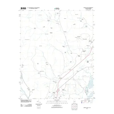
2011 Map of Doran Cove
USGS Topo · Published 2011About this map
Widows Creek Station and the neighboring industrial landscape of the Tennessee River valley define this section of Jackson County. The terrain transitions from the low-lying wetlands of Guntersville Lake and the Bengis Creek drainage to the high elevations of Montague Mountain and Summerhouse Mountain. This topographic diversity is reflected in the numerous named coves and hollows, such as Doran Cove and Bob Payne Hollow, which suggest a long history of family settlement in the sheltered alcoves of the Cumberland Plateau.
Find a feature on this map
98 named features on this map. Tap any name to fly to it.
Don’t see what you’re looking for? This feature index may not catch every label — zoom into the map to look around manually.
Map Details
Editions of this 2011 Doran Cove Map
This is the sole edition of this map. No revisions or reprints were ever made.
Other maps of this area

1886 · Stevenson
USGS Topo · 1:125,000

1892 · Stevenson
USGS Topo · 1:125,000

1895 · Stevenson
USGS Topo · 1:125,000

1895 · Sewanee
USGS Topo · 1:125,000

1936 · Orme
USGS Topo · 1:24,000

1936 · Bridgeport
USGS Topo · 1:24,000

1936 · Wannville
USGS Topo · 1:24,000

1936 · Flat Rock
USGS Topo · 1:24,000

1936 · Sinking Cove
USGS Topo · 1:24,000

1936 · Stevenson
USGS Topo · 1:24,000