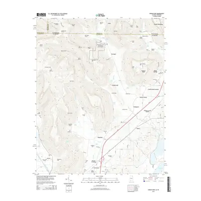
2014 Map of Doran Cove
USGS Topo · Published 2014About this map
Russell Cave National Monument anchors the northern portion of this Jackson County survey, situated where the Cumberland Plateau meets the fertile valleys of northern Alabama. The landscape is defined by its deep hollows and prominent points, including Abbott Hollow, Wildman Cove, and Tar Kiln Point. To the south, the terrain levels out as Bengis Cr and Widows Creek flow toward the expanse of Guntersville Lake.
Find a feature on this map
132 named features on this map. Tap any name to fly to it.
Don’t see what you’re looking for? This feature index may not catch every label — zoom into the map to look around manually.
Map Details
Editions of this 2014 Doran Cove Map
This is the sole edition of this map. No revisions or reprints were ever made.
Other maps of this area

1886 · Stevenson
USGS Topo · 1:125,000

1892 · Stevenson
USGS Topo · 1:125,000

1895 · Stevenson
USGS Topo · 1:125,000

1895 · Sewanee
USGS Topo · 1:125,000

1936 · Orme
USGS Topo · 1:24,000

1936 · Bridgeport
USGS Topo · 1:24,000

1936 · Wannville
USGS Topo · 1:24,000

1936 · Flat Rock
USGS Topo · 1:24,000

1936 · Sinking Cove
USGS Topo · 1:24,000

1936 · Stevenson
USGS Topo · 1:24,000