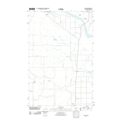
2011 Map of Dore
USGS Topo · Published 2011About this map
The Missouri River sweeps across the northern reaches of this borderland, where the high plains of North Dakota meet Montana. The settlement of Nohly sits near the riverbanks, connected by the Snowden Bridge which serves as a vital crossing point in this sparsely populated agricultural landscape. To the south, the community of Dore is positioned near Nohly Lake, illustrating the concentrated settlement patterns that followed the water and transportation corridors of the region.
Find a feature on this map
28 named features on this map. Tap any name to fly to it.
Don’t see what you’re looking for? This feature index may not catch every label — zoom into the map to look around manually.
Map Details
Editions of this 2011 Dore Map
This is the sole edition of this map. No revisions or reprints were ever made.
Other maps of this area

1909 · Glendive
USGS Topo · 1:250,000

1953 · Williston
USGS Topo · 1:250,000

1953 · Watford City
USGS Topo · 1:250,000

1954 · Glendive
USGS Topo · 1:250,000

1954 · Wolf Point
USGS Topo · 1:250,000

1957 · Glendive
USGS Topo · 1:250,000

1957 · Williston
USGS Topo · 1:250,000

1957 · Watford City
USGS Topo · 1:250,000

1958 · Wolf Point
USGS Topo · 1:250,000

1958 · Glendive
USGS Topo · 1:250,000