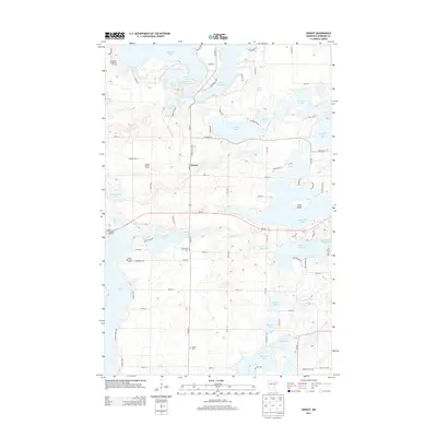
2013 Map of Dorset
USGS Topo · Published 2013About this map
The settlement of Dorset sits at a crossroads of state and county routes in this lake-rich portion of Hubbard County. The landscape is defined by its glacial hydrology, featuring a dense network of water bodies including Big Sand Lake, Lake Belle Taine, and Sixth Crow Wing Lake, which drain toward the Crow Wing River in the south. These lakes have long supported a seasonal recreation economy, evidenced by the Evergreen Lodge Golf Course and Stockade Campground. For local history researchers and genealogists, the map preserves the locations of Henrietta Cem and Bethel Cem, along with agricultural landmarks like Gartner Dairy. Significant vertical infrastructure is also noted at the Dorset Lookout Tower, providing a detailed view of the surrounding woodlands and wetlands as they appeared in the early 21st century.
Find a feature on this map
87 named features on this map. Tap any name to fly to it.
Don’t see what you’re looking for? This feature index may not catch every label — zoom into the map to look around manually.
Map Details
Editions of this 2013 Dorset Map
This is the sole edition of this map. No revisions or reprints were ever made.
Other maps of this area
1953 · Brainerd
USGS Topo · 1:250,000

1954 · Bemidji
USGS Topo · 1:250,000
1957 · Brainerd
USGS Topo · 1:250,000

1957 · Bemidji
USGS Topo · 1:250,000

1958 · Bemidji
USGS Topo · 1:250,000
1958 · Brainerd
USGS Topo · 1:250,000
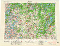
1965 · Brainerd
USGS Topo · 1:250,000
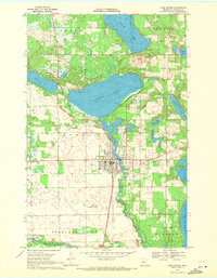
1969 · Park Rapids
USGS Topo · 1:24,000
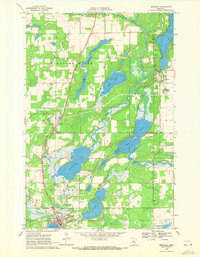
1969 · Menahga
USGS Topo · 1:24,000
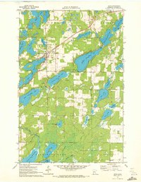
1970 · Nevis
USGS Topo · 1:24,000