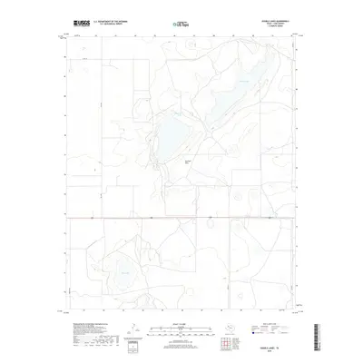
2019 Map of Double Lakes
USGS Topo · Published 2019About this map
Double Lakes and Twin Lakes anchor this high plains landscape in southern Lynn County, where the topography is defined by these significant alkaline depressions and seasonal water bodies. The terrain transitions into the broad expanse of Antelope Flats, a region characterized by its subtle elevation changes and importance to local ranching and agricultural operations. A network of secondary roads, including Fm 1328, Fm 3112, and Edward Rd, provides the essential infrastructure connecting the isolated homesteads and ranch lands that dominate the area. The presence of Stud Duck Tank illustrates the vital role of artificial water management in this arid environment. This 2019 survey captures the modern rural layout of the Staked Plains, showing the persistent relationship between the highway system, such as Route 380, and the natural playa features that have guided human activity in the region for generations.
Find a feature on this map
10 named features on this map. Tap any name to fly to it.
Don’t see what you’re looking for? This feature index may not catch every label — zoom into the map to look around manually.
Map Details
Editions of this 2019 Double Lakes Map
This is the sole edition of this map. No revisions or reprints were ever made.
Other maps of this area

1954 · Lubbock
USGS Topo · 1:250,000

1954 · Brownfield
USGS Topo · 1:250,000

1957 · New Home
USGS Topo · 1:62,500

1957 · Meadow
USGS Topo · 1:62,500

1958 · Brownfield
USGS Topo · 1:250,000

1962 · Brownfield
USGS Topo · 1:250,000

1969 · Mound Lake
USGS Topo · 1:24,000

1969 · Skeen Lake
USGS Topo · 1:24,000

1969 · New Moore
USGS Topo · 1:24,000

1969 · Tahoka
USGS Topo · 1:24,000