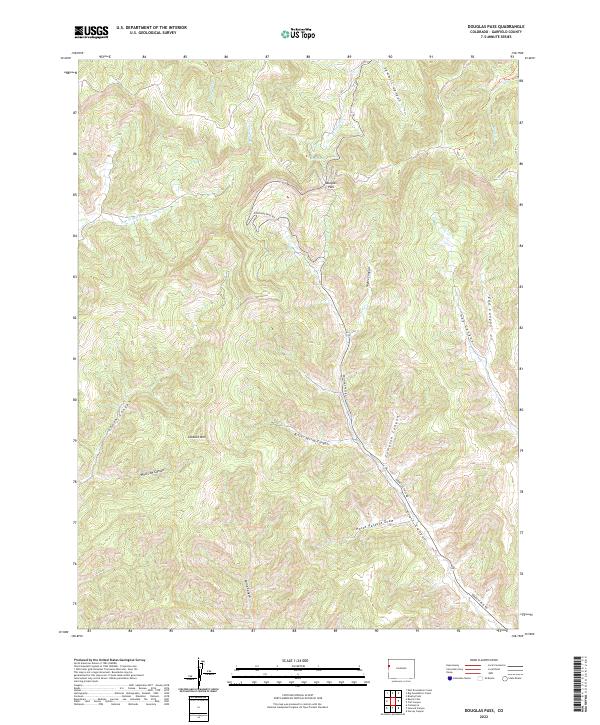
2022 Map of Douglas Pass
USGS Topo · Published 2022About this map
Douglas Pass serves as the primary topographic landmark and transit artery through this high-elevation corridor of Garfield County. The landscape is defined by a dense network of deeply carved drainages, including Bitter Spring Canyon and Compton Canyon, which converge toward the pass. Historically significant as a high mountain crossing, the area is navigated via Douglas Pass Rd, which winds through the terrain alongside prominent peaks like Lookout Mtn. Water sources are sparse but critical in this environment, represented by named features such as Fuel Spring and Horse Pasture Draw. The drainage patterns, including E Br W Salt Cr and W Douglas Cr, reveal the complex erosion that has shaped this segment of the Western Slope, highlighting the area's importance for local grazing and transportation at the start of the 21st century.
Find a feature on this map
23 named features on this map. Tap any name to fly to it.
Don’t see what you’re looking for? This feature index may not catch every label — zoom into the map to look around manually.
Map Details
Editions of this 2022 Douglas Pass Map
This is the sole edition of this map. No revisions or reprints were ever made.
Other maps of this area

1956 · Grand Junction
USGS Topo · 1:250,000

1959 · Grand Junction
USGS Topo · 1:250,000

1960 · Grand Junction
USGS Topo · 1:250,000

1962 · Grand Junction
USGS Topo · 1:250,000

1964 · Grand Junction
USGS Topo · 1:250,000

1964 · Douglas Pass
USGS Topo · 1:24,000

1964 · Brushy Point
USGS Topo · 1:24,000

1964 · East Evacuation Creek
USGS Topo · 1:24,000

1964 · Baxter Pass
USGS Topo · 1:24,000

1964 · Calf Canyon
USGS Topo · 1:24,000