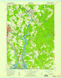
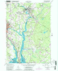
1956 Map of Dover East
USGS Topo · Published 1958About this map
The Salmon Falls River and Piscataqua River form the backbone of this borderland survey, charting the industrial and maritime connection between York County, Maine, and Strafford County, New Hampshire. In South Berwick, the prestigious Berwick Academy stands near the confluence of the Great Works River, while the Boston and Maine Railroad corridors link older mill settlements like Salmon Falls and Rollinsford Station. This mid-century view captures the transition of the landscape as the Spaulding Toll Turnpike began to modernize regional transit, even as rural crossroads like Gould Corner and Crams Corner retained their 19th-century character. Genealogists will find a dense concentration of burial grounds, from the St Michaels Cem to the sprawling Pine Hill Cemetery near Dover. From the tidal flats of Little Bay to the heights of Rocky Hills, the map documents a region defined by its water-powered past and its developing suburban future.
Find a feature on this map
109 named features on this map. Tap any name to fly to it.
Don’t see what you’re looking for? This feature index may not catch every label — zoom into the map to look around manually.
Map Details
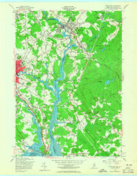
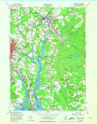
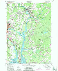
Editions of this 1956 Dover East Map
5 editions found
Other maps of this area

1891 · Berwick
USGS Topo · 1:62,500

1891 · Kennebunk
USGS Topo · 1:62,500

1893 · Kennebunk
USGS Topo · 1:62,500

1893 · Dover
USGS Topo · 1:62,500

1893 · Berwick
USGS Topo · 1:62,500

1893 · York
USGS Topo · 1:62,500

1898 · Kennebunk
USGS Topo · 1:62,500

1916 · Dover
USGS Topo · 1:62,500

1918 · Dover
USGS Topo · 1:62,500

1920 · York
USGS Topo · 1:62,500