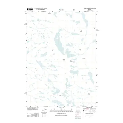
2012 Map of Downs Mountain
USGS Topo · Published 2012About this map
Downs Mountain and its surrounding high-altitude terrain dominate this 2012 survey, which documents a complex glacial landscape in Wyoming's Wind River Range. The map captures several active ice masses, including the expansive Continental Glacier, Downs Glacier, and Connie Glacier. These features feed a network of alpine water systems, such as Downs Fork and Clear Cr, which flow through dramatic topographic shifts like No Mans Pass and Bear Basin.
Find a feature on this map
37 named features on this map. Tap any name to fly to it.
Don’t see what you’re looking for? This feature index may not catch every label — zoom into the map to look around manually.
Map Details
Editions of this 2012 Downs Mountain Map
This is the sole edition of this map. No revisions or reprints were ever made.
Other maps of this area

1909 · Fremont Peak
USGS Topo · 1:125,000

1955 · Thermopolis
USGS Topo · 1:250,000

1958 · Thermopolis
USGS Topo · 1:250,000

1962 · Thermopolis
USGS Topo · 1:250,000
1968 · Union Peak
USGS Topo · 1:24,000
1968 · Torrey Lake
USGS Topo · 1:24,000
1968 · Ink Wells
USGS Topo · 1:24,000
1968 · Simpson Lake
USGS Topo · 1:24,000

1968 · Fremont Peak North
USGS Topo · 1:24,000
1968 · Gannett Peak
USGS Topo · 1:24,000