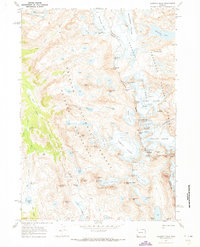
1968 Map of Gannett Peak
USGS Topo · Published 1973About this map
Gannett Peak dominates this high-altitude landscape along the Continental Divide, where the boundaries of Sublette and Fremont counties meet. This 1968 field-checked survey documents one of the most significant glacial systems in the American West, featuring the expansive Mammoth Glacier, Dinwoody Glacier, and Gannett Glacier. The terrain is a complex network of ice and granite, with numerous named summits such as Mount Woodrow Wilson, The Sphinx, and Bastion Peak framing the deep basins of the Bridger Wilderness and Shoshone National Forest.
Find a feature on this map
78 named features on this map. Tap any name to fly to it.
Don’t see what you’re looking for? This feature index may not catch every label — zoom into the map to look around manually.
Map Details
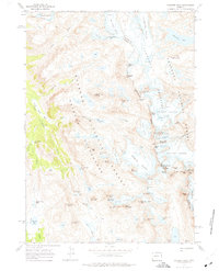
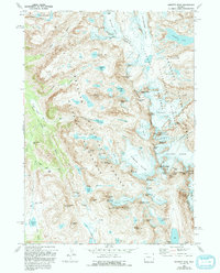
Editions of this 1968 Gannett Peak Map
3 editions found
Other maps of this area

1909 · Fremont Peak
USGS Topo · 1:125,000

1955 · Thermopolis
USGS Topo · 1:250,000

1958 · Thermopolis
USGS Topo · 1:250,000

1962 · Thermopolis
USGS Topo · 1:250,000
1968 · Ink Wells
USGS Topo · 1:24,000

1968 · Fremont Peak North
USGS Topo · 1:24,000
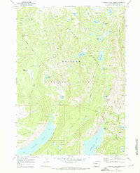
1968 · Fremont Lake North
USGS Topo · 1:24,000
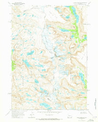
1968 · Downs Mountain
USGS Topo · 1:24,000
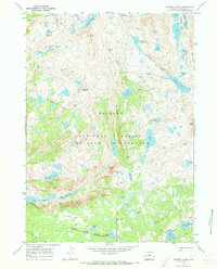
1968 · Bridger Lakes
USGS Topo · 1:24,000
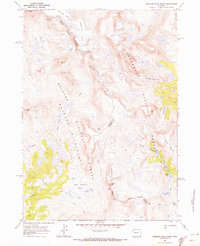
1968 · Fremont Peak South
USGS Topo · 1:24,000