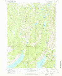
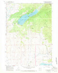
1968 Map of Fremont Lake North
USGS Topo · Published 1973About this map
The high alpine environment of the Bridger National Forest dominates this 1960s landscape, characterized by a complex network of glacial basins and high-elevation parklands. Large water bodies like Willow Lake and the northern reach of Fremont Lake serve as the primary anchors for the region's recreational and administrative infrastructure. The presence of the Willow Creek Lookout and Crows Nest Lookout indicates the essential fire-watch system maintained within the Bridger Wilderness during this era.
Find a feature on this map
48 named features on this map. Tap any name to fly to it.
Don’t see what you’re looking for? This feature index may not catch every label — zoom into the map to look around manually.
Map Details
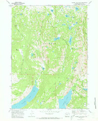
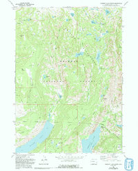
Editions of this 1968 Fremont Lake North Map
3 editions found
Other maps of this area

1909 · Fremont Peak
USGS Topo · 1:125,000

1955 · Thermopolis
USGS Topo · 1:250,000

1955 · Lander
USGS Topo · 1:250,000

1958 · Lander
USGS Topo · 1:250,000

1958 · Thermopolis
USGS Topo · 1:250,000

1961 · Lander
USGS Topo · 1:250,000

1962 · Thermopolis
USGS Topo · 1:250,000
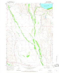
1964 · Cora
USGS Topo · 1:24,000

1964 · Fremont Lake South
USGS Topo · 1:24,000
1967 · New Fork Lakes
USGS Topo · 1:24,000