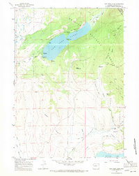
1967 Map of New Fork Lakes
USGS Topo · Published 1971About this map
New Fork Lakes dominates this Sublette County landscape, situated where the New Fork River meets the western edge of the Bridger National Forest. The 1967 survey captures a remote mountain environment defined by water management and backcountry access, featuring the Spillway and the narrow passage of The Narrows. Human activity is centered around seasonal and agricultural outposts like the New Fork Scout Camp, Willow Creek Guard Station, and the Z Bar U Ranch. The map illustrates a complex network of early irrigation efforts, including the Lizzie Lozier Ditch, Graham Ditch, and Josephine Ditch, which redirect water from alpine creeks. For transportation, the area relies on the Shriver Landing Strip and primitive routes such as the Lowline Trail and various jeep trails leading toward the Bridger Wilderness.
Find a feature on this map
39 named features on this map. Tap any name to fly to it.
Don’t see what you’re looking for? This feature index may not catch every label — zoom into the map to look around manually.
Map Details
Editions of this 1967 New Fork Lakes Map
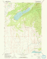
2 editions found
Other maps of this area

1907 · Gros Ventre
USGS Topo · 1:125,000

1909 · Fremont Peak
USGS Topo · 1:125,000

1910 · Gros Ventre
USGS Topo · 1:125,000

1939 · Big Piney
USGS Topo · 1:125,000

1942 · Big Piney
USGS Topo · 1:125,000

1955 · Driggs
USGS Topo · 1:250,000

1955 · Preston
USGS Topo · 1:250,000

1955 · Thermopolis
USGS Topo · 1:250,000

1955 · Lander
USGS Topo · 1:250,000

1958 · Driggs
USGS Topo · 1:250,000