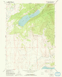
1967 Map of New Fork Lakes
USGS Topo · Published 1993About this map
The New Fork Lakes anchor this landscape, where the New Fork River flows through a narrow gap between high peaks. This area at the edge of the Bridger Wilderness was characterized in the 1960s by a mix of recreational development and cattle ranching. The presence of the New Fork Scout Camp and multiple campgrounds like The Narrows Campground point to the area's long-standing role as a mountain retreat.
Find a feature on this map
37 named features on this map. Tap any name to fly to it.
Don’t see what you’re looking for? This feature index may not catch every label — zoom into the map to look around manually.
Map Details
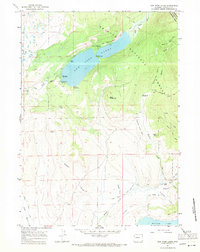
Editions of this 1967 New Fork Lakes Map
2 editions found
Other maps of this area

1907 · Gros Ventre
USGS Topo · 1:125,000

1909 · Fremont Peak
USGS Topo · 1:125,000

1910 · Gros Ventre
USGS Topo · 1:125,000

1939 · Big Piney
USGS Topo · 1:125,000

1942 · Big Piney
USGS Topo · 1:125,000

1955 · Driggs
USGS Topo · 1:250,000

1955 · Preston
USGS Topo · 1:250,000

1955 · Thermopolis
USGS Topo · 1:250,000

1955 · Lander
USGS Topo · 1:250,000

1958 · Driggs
USGS Topo · 1:250,000