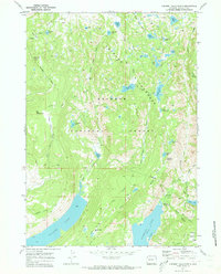
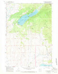
1968 Map of Fremont Lake North
USGS Topo · Published 1973About this map
Fremont Lake and its deep northern waters at Moosehead Bay anchor this late 1960s study of the high Wind River country. The terrain transition is sharp, moving from the glacial expanse of Willow Lake up to the high-altitude plateaus of Big Flattop Mtn and Pine Mountain. This era captures the established recreation and fire-watch infrastructure of the Bridger National Forest, including the Upper Fremont Lake Campground and the Willow Creek Lookout. The map provides a detailed view of the complex hydrology of the Bridger Wilderness, where dozens of alpine basins such as Heart Lake, Trail Lake, and Snake Lake feed into the Trapper Creek and Pine Creek drainages. Traces of early access are visible through the Skyline Drive and various pack routes like the Doubletop Mountain Trail.
Find a feature on this map
56 named features on this map. Tap any name to fly to it.
Don’t see what you’re looking for? This feature index may not catch every label — zoom into the map to look around manually.
Map Details
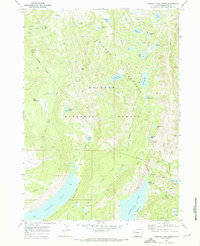
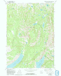
Editions of this 1968 Fremont Lake North Map
3 editions found
Other maps of this area

1909 · Fremont Peak
USGS Topo · 1:125,000

1955 · Thermopolis
USGS Topo · 1:250,000

1955 · Lander
USGS Topo · 1:250,000

1958 · Lander
USGS Topo · 1:250,000

1958 · Thermopolis
USGS Topo · 1:250,000

1961 · Lander
USGS Topo · 1:250,000

1962 · Thermopolis
USGS Topo · 1:250,000
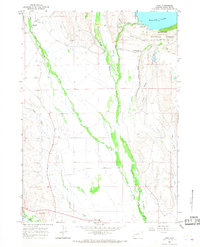
1964 · Cora
USGS Topo · 1:24,000

1964 · Fremont Lake South
USGS Topo · 1:24,000
1967 · New Fork Lakes
USGS Topo · 1:24,000