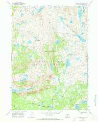
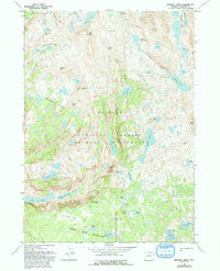
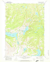
1968 Map of Bridger Lakes
USGS Topo · Published 1973About this map
Photographers Point offers a commanding perspective over the high alpine drainage systems of the Bridger Wilderness during the late 1960s. This survey records a complex network of glacial lakes and granite peaks, including Mount Lester and Duran Peak, which define the upper reaches of Fremont Creek. The landscape is etched with historical backcountry routes such as the Highline Trail and the Indian Pass Trail, which connect significant water bodies like Island Lake and the Titcomb Lakes.
Find a feature on this map
63 named features on this map. Tap any name to fly to it.
Don’t see what you’re looking for? This feature index may not catch every label — zoom into the map to look around manually.
Map Details
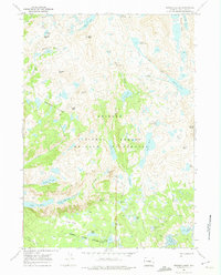
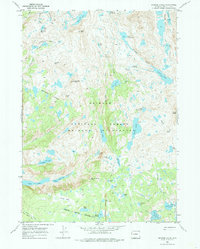
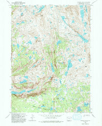
Editions of this 1968 Bridger Lakes Map
6 editions found
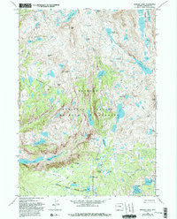
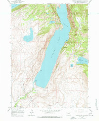
Other maps of this area
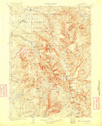
1909 · Fremont Peak
USGS Topo · 1:125,000

1955 · Thermopolis
USGS Topo · 1:250,000

1955 · Lander
USGS Topo · 1:250,000

1958 · Lander
USGS Topo · 1:250,000

1958 · Thermopolis
USGS Topo · 1:250,000

1961 · Lander
USGS Topo · 1:250,000

1962 · Thermopolis
USGS Topo · 1:250,000
1964 · Fremont Lake South
USGS Topo · 1:24,000
1968 · Fayette Lake
USGS Topo · 1:24,000
1968 · Fremont Peak North
USGS Topo · 1:24,000