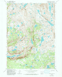
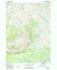
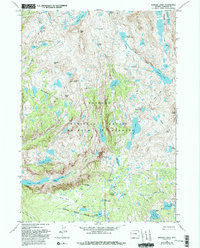
1968 Map of Bridger Lakes
USGS Topo · Published 1992About this map
Titcomb Basin and the alpine heights of the Wind River Range define this high-altitude landscape as it was documented in the late 1960s. The region is marked by a complex network of glacial water bodies, including Island Lake, Seneca Lake, and the remote Sauerkraut Lakes. Significant mountain passes like Gunsight Pass and Threlkeld Pass provided critical transit points through the high peaks of the Bridger Wilderness.
Find a feature on this map
51 named features on this map. Tap any name to fly to it.
Don’t see what you’re looking for? This feature index may not catch every label — zoom into the map to look around manually.
Map Details
Editions of this 1968 Bridger Lakes Map
6 editions found
Other maps of this area

1909 · Fremont Peak
USGS Topo · 1:125,000

1955 · Thermopolis
USGS Topo · 1:250,000

1955 · Lander
USGS Topo · 1:250,000

1958 · Lander
USGS Topo · 1:250,000

1958 · Thermopolis
USGS Topo · 1:250,000

1961 · Lander
USGS Topo · 1:250,000

1962 · Thermopolis
USGS Topo · 1:250,000

1964 · Fremont Lake South
USGS Topo · 1:24,000
1968 · Fayette Lake
USGS Topo · 1:24,000

1968 · Fremont Peak North
USGS Topo · 1:24,000