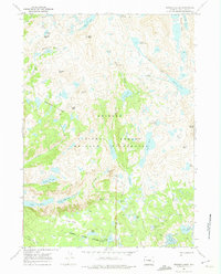
1968 Map of Bridger Lakes
USGS Topo · Published 1974About this map
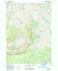
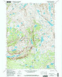
Island Lake and the surrounding high alpine terrain of the Bridger Wilderness dominate this 1968 field survey. The landscape is defined by an intricate network of glacial lakes and dramatic peaks, including Mount Lester and Guitierrez Peak, all situated within the Bridger National Forest. Notable for hikers and researchers of backcountry routes, the map traces the Highline Trail as it moves through Miller Park and skirts the Bridger Wilderness Boundary.
Find a feature on this map
50 named features on this map. Tap any name to fly to it.
Don’t see what you’re looking for? This feature index may not catch every label — zoom into the map to look around manually.
Map Details
Editions of this 1968 Bridger Lakes Map
6 editions found
Other maps of this area

1909 · Fremont Peak
USGS Topo · 1:125,000

1955 · Thermopolis
USGS Topo · 1:250,000

1955 · Lander
USGS Topo · 1:250,000

1958 · Lander
USGS Topo · 1:250,000

1958 · Thermopolis
USGS Topo · 1:250,000

1961 · Lander
USGS Topo · 1:250,000

1962 · Thermopolis
USGS Topo · 1:250,000

1964 · Fremont Lake South
USGS Topo · 1:24,000
1968 · Fayette Lake
USGS Topo · 1:24,000

1968 · Fremont Peak North
USGS Topo · 1:24,000